On April 12, 1934, on Mt. Washington in New Hampshire, history was made when the wind on the top of the Northeast's tallest peak hit 231 miles per hour.
It certainly feels like winter in New England recently. After a pretty warm start to January- a top 10 warmest-ever January in fact-we are back in the bitter cold, with (finally) some snow in the forecast. Now, we all live here in New England because we think of winter as a great adventure, right? Well, if you really want a winter adventure, then venture up 6288 feet to the top of Mt. Washington where you will find the "worst weather on Earth." Check out the video posted this week from the great folks up at the Mt Washington Observatory.
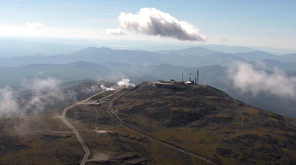
Mt Washinton, New Hampshire. 6,288 feet high. One a clear day you can see as far as 130 miles to Maine, Vermont, New York, Massachusetts, Quebec, and the Atlantic Ocean. The Auto Road up to the top is a scary, but wicked fun and beautiful trip. Of course, if it's a mountain, then people have to see how quickly they can walk, run, bike, and drive up to the summit. Here are the records for getting to the top according to the fine folks at the Mt Washington Auto Road
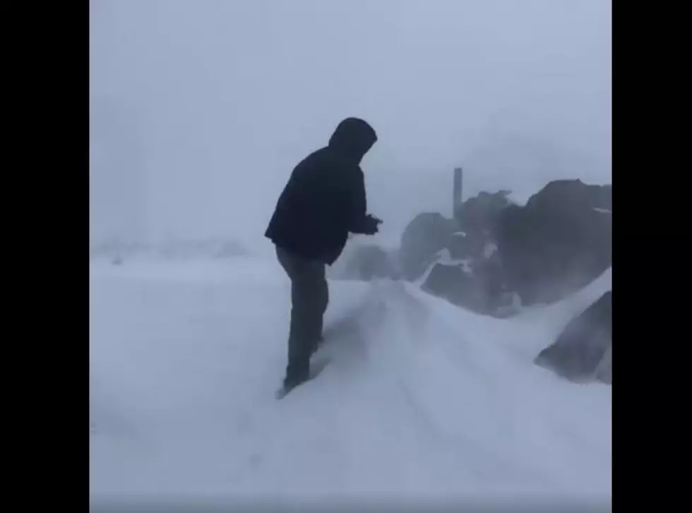
You may be raking leaves in your backyard, but up at the top of Mt Washington, it's full-on winter! The mountain got its first ice of the season back in August. Check out this clip of the snowstorm they had up there this past weekend.
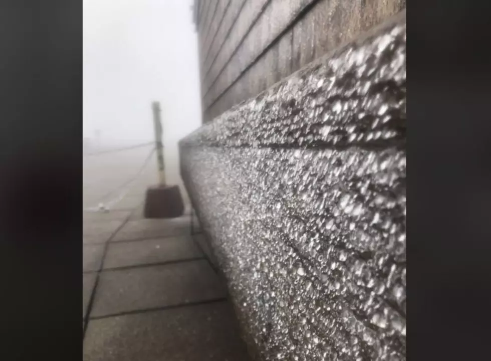
Wow- that cold front blew through Northern New England last night really cooled everything off. It's starting to feel like Fall and you may have seen a red leaf or two recently. And that's great! Perfect weather if you ask me. I don't know the next time we will see 88 degrees. Looks like daytime temps in the 70's and nice cool nights in the '50s...or '40s...or even in some places, like Mt Washington, BELOW FREEZING. Let's call it the first "ice" of the season. Pretty crazy that the mountain only has one month of the year with no ice!
From the top of Mt Washington where we house two of our radio towers (WHOM and The Peak), we bring you one of the coolest shots of the summer. This photo has everything...the Big Dipper, shooting stars, satellites, night hikers, temperature inversion (sounds scary), and airplanes. Wow.