UPDATE: How Isaias Could Impact Maine
UPDATE (Aug 3rd, 7:30 AM)
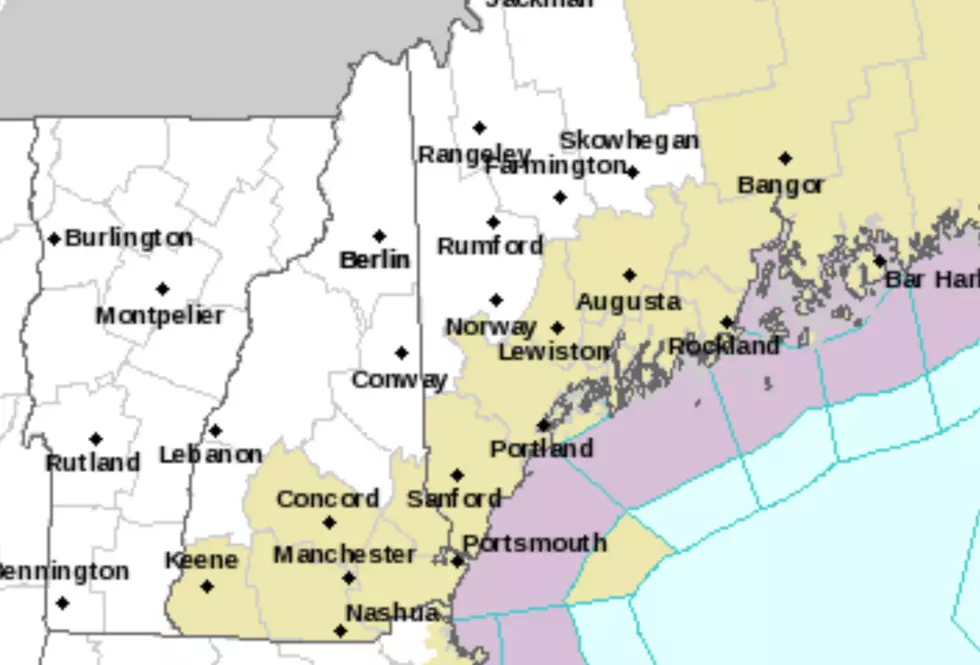
According to WMTW, much of Maine is now under a Tropical Storm Watch due to Isaias (Ees-ay-ee-azz). In addition to the Maine coast, inland areas of Maine and New Hampshire could be affected.
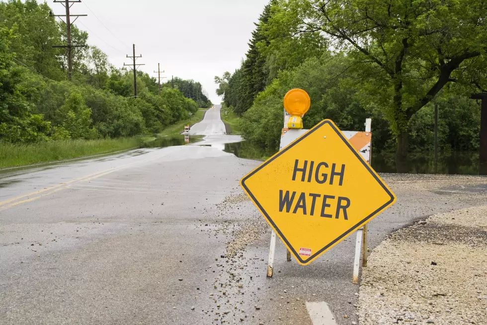
We'll see rain rolling into our area on Tuesday afternoon. It appears it will stay with us through early Wednesday. The biggest impact will be heavy, tropical rains with 1 to 3 inches possible and isolated higher amounts, especially across the west and higher terrain.
Original story follows...
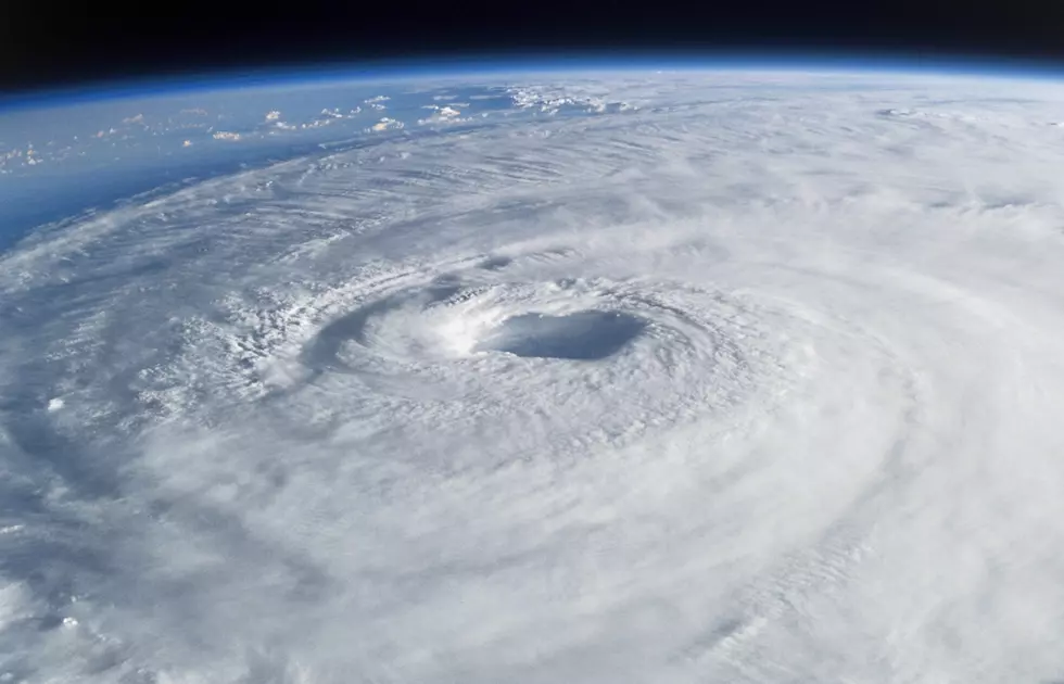
Despite being a state that has a lot of coastline, Maine is normally lucky enough to avoid being hit by most major tropical storms and hurricanes. Yes, we get the occasional Nor'Easter, but those normally pale in comparison to the destructive power of a mid-summer hurricane.
That being said, it looks like we could be impacted by Hurricane Isaias.
According to the Weather Channel, meteorologists tracking Isaias (Ees-ay-ee-azz), are still trying to develop a plot of how the hurricane will make landfall in the United States. Residents of Florida, South Carolina, and North Carolina have been told to prepare for the storm. Evacuations have been ordered in some places.
At this point, their meteorologists are projecting the storm to hit the tip of Florida on Saturday evening. They are projecting that it could hit the Carolinas late Sunday or early Monday and hit New York midday on Tuesday.
Right now, it appears it could reach us by sometime on Wednesday.
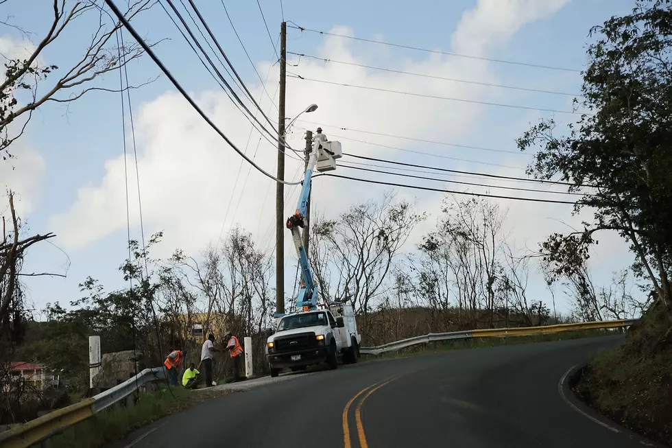
What will it bring us? It's too early to know for sure, but it looks like we'll be getting a lot of rain and significant winds. Depending on the path the storm takes, we could see 65 MPH winds! Obviously, if we get hit, the area most affected will be the coast. Kennebunk, Portland, Rockland, etc.
This post will be updated as we learn more about the path of the storm
Have you downloaded our free app? Use it to stream the station, get the inside scoop on exclusive contests, and get breaking news and weather sent right to your phone.

KEEP READING: Get answers to 51 of the most frequently asked weather questions...
More From


