The Weather Theme is a Chance of Snow, Aroostook County, Maine
The phrase for the weather forecast this week is “A Chance of Snow.”
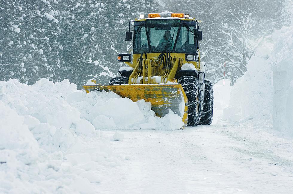
We saw plenty of snow this past weekend with several inches overnight Saturday into Sunday afternoon. We may see some more this week, but not as much.
This is a busy time for everyone trying to get the last minute items for the big weekend. Christmas Eve is Friday and Christmas is Saturday. New Year’s Eve is coming fast too.
Keeping an eye on the forecast is important right now with with kids out of school, students home from college and people taking some time off to enjoy the holidays.
Here’s how the weather looks going into Christmas:
Monday: Things will be mostly clear and cold with a high around 22. The Wind chill value is a factor with temps feeling like -4.
Monday Night: Snow is possible with about a 40% chance. Low around 17.
Tuesday: A chance of snow before 1 p.m. (close to 40%). Gusty wind will cause some blowing snow mid morning into the mid afternoon. High near 29.
Tuesday Night: Things clear up for the evening as winds decrease. It’s going to be a cold 4 degrees.
Wednesday: A 50% chance of snow after 11 a.m. Look for a high around 22.
Wednesday Night: Snow showers possible with a low of 10.
Thursday: Only a 20% chance of snow and otherwise partly sunny. temps in the low 20’s.
Thursday Night: The temperature drops to 2 and partly cloudy.
Friday: A chance of snow around 20%. 21 for the high.
Christmas Eve: A chance of snow (around 30%). Lows near 6.
Christmas: A 40% chance of snow with highs around 25.
Listeners' Christmas Trees
Light Up Aroostook County & Western New Brunswick
Gift Ideas: Maine Department of Inland Fish and Wildlife
More From